
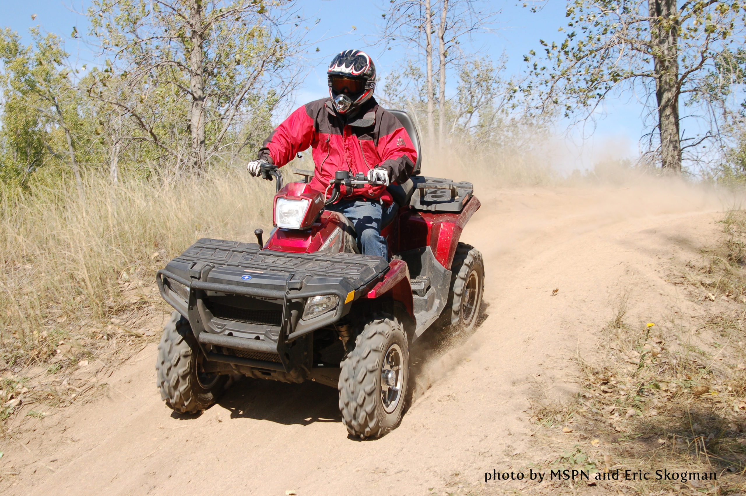
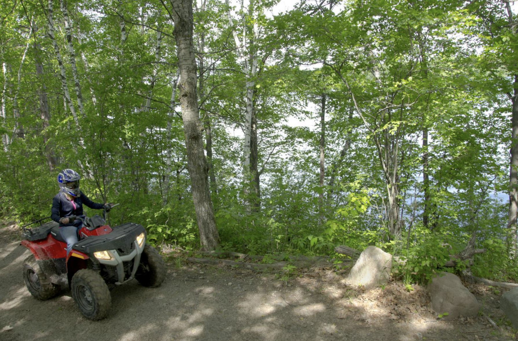
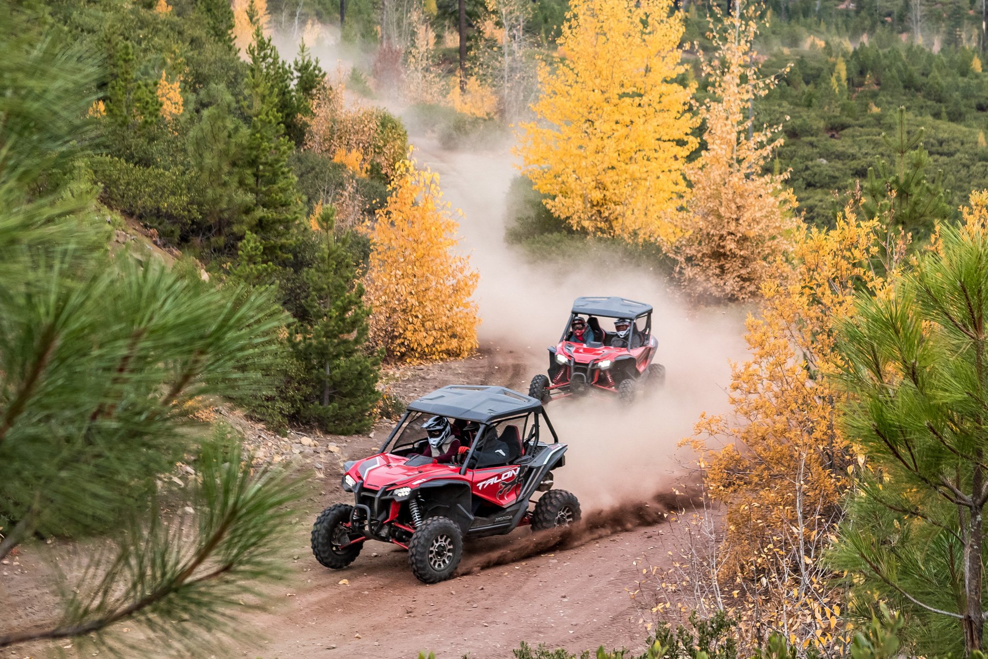
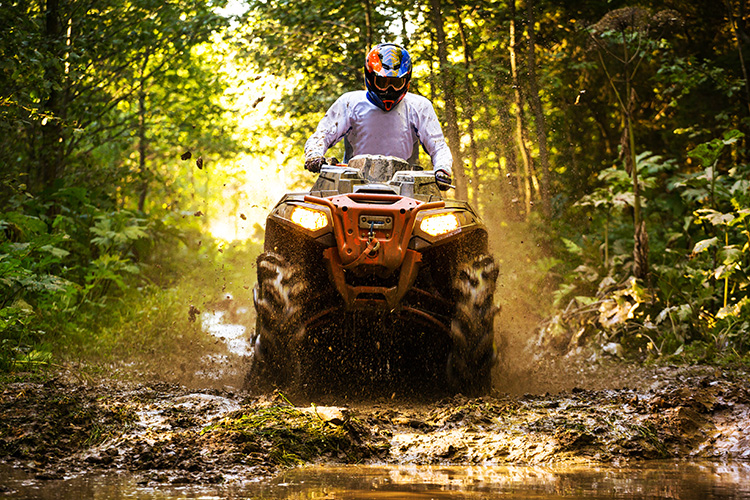
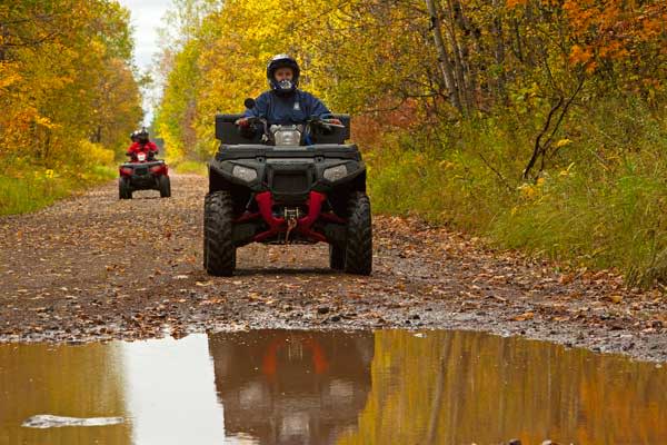
Minnesota ATV Guide
Maddy Scheinost2021-08-26T14:58:53-05:00Minnesota ATV Trail Guide
We’ve only highlighted a very few of the wonderful ATV trails in Minnesota, but there are many other great areas for ATV and UTV trail riding located all across the state. For a more complete list of Minnesota DNR ATV trails, check out the “A-Z listing of off-highway vehicle trails.”
Appleton Area Recreational Park
Location: Swift County
From Appleton, go 1 mile east on Hwy. 59. Parking is available within the park.
This area started life as an old gravel mine. Today it covers 330 acres, including 20 miles of trails, ideal for off-highway vehicles (OHV) of all skill levels. Past gravel mining activity created rolling terrain and excellent riding for the entire family. The City of Appleton even allows ATV travel on posted roads within city limits.
Forest Riders Trail
Location: Hubbard County
Co. Rd. 4. N. to Pine Lake Co. Forest Road, then 1/4 mile west. Second lot at Hwy. 200 and 4 intersections at Lake George Town Hall. Third lot at Flying W Gardens, Hwy. 71 and Little Mantrap Dr.
This area offers some wonderful Minnesota ATV trails throughout its one hundred miles of trails across Becker and Hubbard counties, providing ATV riders with a tour of some of Minnesota’s scenic, remote state forests including Two Inlets, Smoky Hills, Paul Bunyan and White Earth, with terrain providing a little bit of everything from gently curving, to rolling and hilly, to level and smooth to more challenging terrain.
Fond du Lac State Forest
Location: Carlton County
Near Cloquet MN. Parking and trail access north of Cromwell, off Co. Rd. 120 as well as Gravel Pit Rd.
64,505 acres of wetland and forest complex that offers 37 miles chock full of great ATV riding trails and UTV riding trails. Some sections offer wide, gentle curves while the others more challenging paths with narrow with tighter curves and corners. Much of the route takes ATV riders along ridges that border wetlands, marshy areas, wooded swamps and shallow wild-rice lakes. A gravel pit provides riders with a large practice area.
Fourtown Grygla Trail System
Location: Beltrami County
In Grygla at the intersection of Marshall Ave. and W. State St. In Fourtown at the intersection of Hwy. 89 and Co. Rd. 18.
170 miles of trail stretched throughout northwestern Minnesota, much of it following county roads, township roads, ditch banks and existing trails. Generally flat, this isn’t the most challenging trail in the state, but it’s a great place for 4-wheeler riders to open the throttle and roar. County ordinances allow ATVs to operate on the far-right side of the travel lane.
Iron Range Off-Highway Vehicle State Recreation Area
Location: St. Louis County
East from the city of Gilbert on Highway 135; entrance is on Enterprise Trail
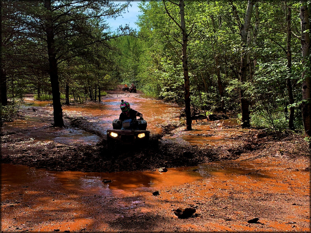
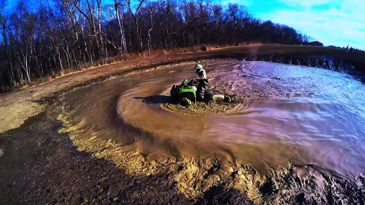
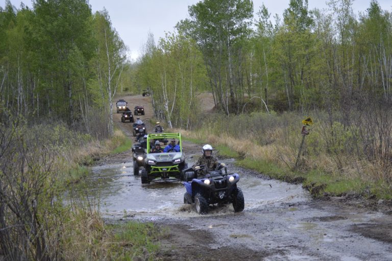
20 of the 36 miles of OHV trails in the Iron Range Recreation Area are designated for ATVs, offering exciting adventures with many degrees of difficulty. Upon entering the area, visitors will see the check-in area at the main office. Every vehicle needs to stop here to check-in and receive a pass for the day. The Red Valley Area is a multiple hill area with different lengths and steepness to each hill, and the Hug the Bank trail is carved into the side of an old mine dump. High Voltage is an ORV (Off-Road Vehicle) trail that has obstacles similar to the stair climb. Large logs are spread out just enough in the rocky red dirt to give users a hard time as they try to reach the top. ATV mudding is available in many parts of the area.
Nemadji State Forest Trails
Location: Pine County
From Nickerson, go 1 mile NE on MN HWY 23. Turn onto Co. Rd. 146. Follow signs to Gafvert Day-use Area.
Over 200 miles of trails can be found climbing through the 92-acre boundaries of Nemadji State Forest, one of the state’s most diverse trail systems, with connections to the Matthew Lourey State Trail and the Gandy Dancer Trail that offer additional riding. The southern trails wind across gently rolling upland, moving to steep stream valleys in the northeast, where experienced riders will find wooded, technical off-highway vehicle (OHV) single-track trails providing a challenge.
Meeker County Off Highway Vehicle (OHV) Park
Location: Meeker County
From Darwin, go west on Hwy. 12. Turn south onto Co. Rd. 9. Entrance to park is on east side of the road, approximately 6 miles.
Five miles of 4-wheeler trails means this 40-acre parcel of woods showcasing a host of Minnesota trees (oak, elm, ash and maple) isn’t the largest trail system in the state, but it’s mostly hard-packed trails offer a variety of conditions, with some loose dirt, sand, mud, and dust, a few steep hills, water crossings, and some berms and small jumps.
Snake Creek Trails
Location: Wabasha County
From Kellogg: approximately 4 miles south on Hwy 61, users can access unit from 608th St. There is an access sign. Follow road until reaching the lot.
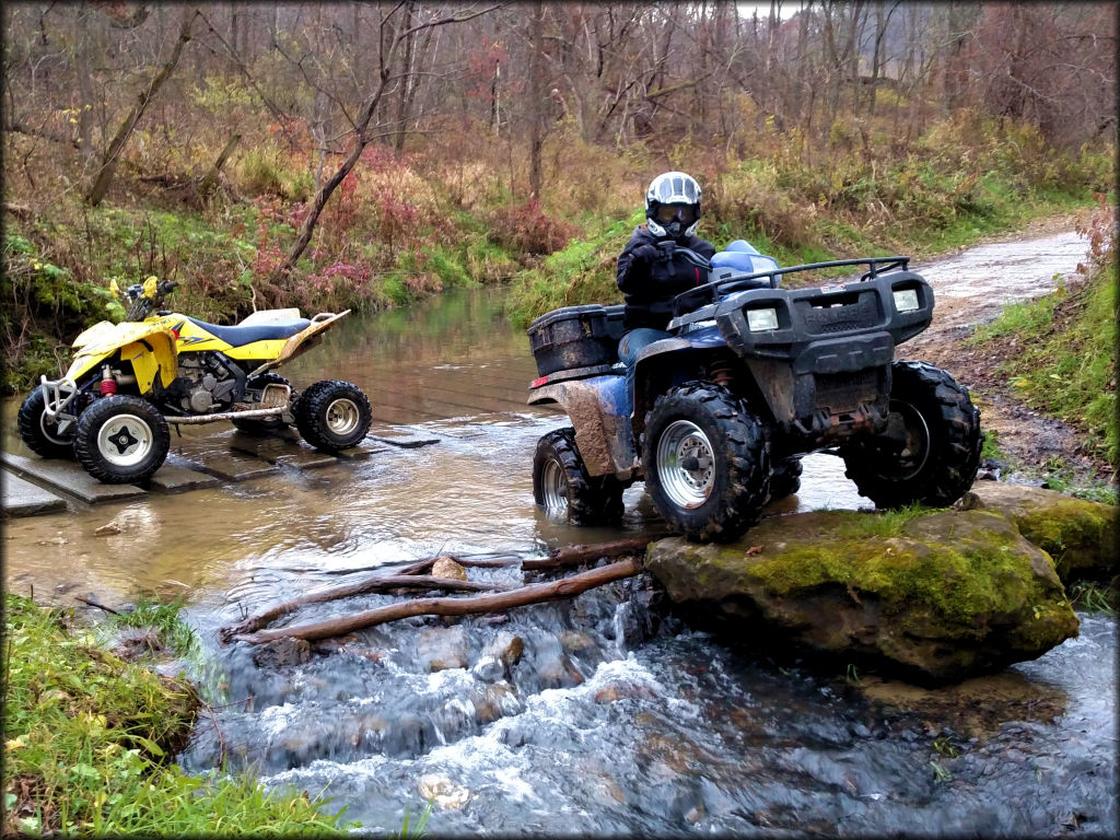
13-miles of UTV and side-by-side ATV trails that are both challenging and beautiful. With trails twisting their way through the bluffs of the Richard J. Dorer Memorial Hardwood Forest, wooded trails climb 300 feet along the Snake Creek Valley with stunning scenic overlooks. Sections of the trail reach to the bedrock and have challenging outcroppings and rounded stones paths.
Soo Line North Trail
Location: Carlton County
Parking and trail access in Shovel Lake, Swatara, Palisade, McGregor and Lawler. The trail begins in Remer and ends near Cass Lake.
With a 48-mile trail that was an abandoned railroad grade, the Soo Line North is Minnesota’s ultimate ATV connector. Flat and gentle with sweeping curves through hardwood forests dotted with ponds, it connects to the Rabey Line Trail, Blind Lake Connector and Loop, Hill City Trail and Lawler Loops, and also the Northwoods trail which offers about 207 miles of connected, marked, and maintained ATV riding. It’s not unusual for riders on this trail to see a variety of forest wildlife species.
Spider Lake Trails
Location: Cass County
Parking and trail access 12 miles west of Pine River to south on Spider McKinley Forest Rd.
29 miles of trails located in the Foothills State Forest near Pine River provide a diversity of terrain and trail types ideal for honing riding skills. Riders will find trails that are smooth, sandy, rough, rocky or require maneuvering around curves along the shorelines of lakes and ponds, ridges, hills, and slopes under the forest canopy.
