
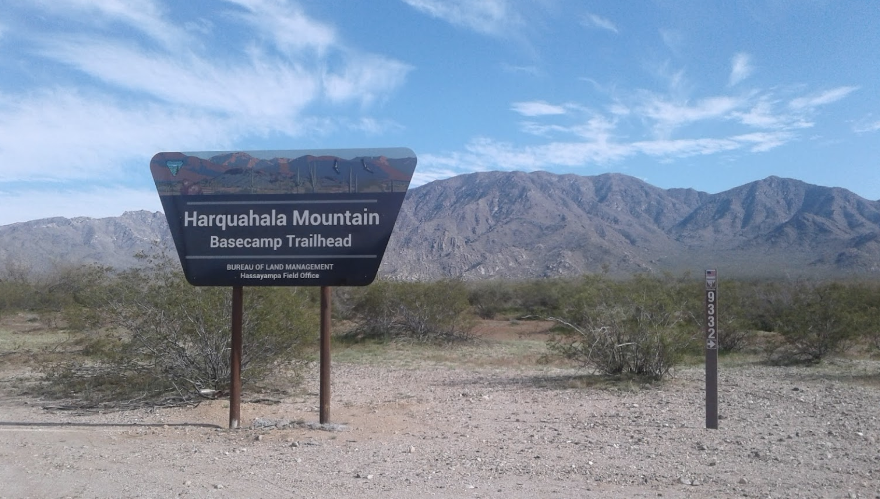
Harquahala Mountain OHV, UTV and Off Road Trail
Beginning at the base of Harquahala Mountain before heading up a winding path to the historic Harquahala Observatory (used by Smithsonian Institution scientists studying the sun in the early 1920s)
This rugged 21 mile out and back trail is one of the state’s preferred ATV riding trails. It starts out easy-going over a well graded dirt road that weaves its way through Lower Sonoran Desert with its large Saguaro cactus. Then the trail narrows, snaking its way through Blue Tank Canyon, over some large mountain razorbacks before starting to climb until it reaches the top of the tallest mountain in southwest AZ, Harquahala Mountain and its 5,700-foot elevation views. Terrain is mostly hard pack with a little sand, some mud, some rugged, rocky sections with a few steep hills and a few water crossings.